Advertisement
Click to download now, finish the installation quickly, and directly unlock the "all-round experience"
Advertisement
Screenshots
Click to download now, finish the installation quickly, and directly unlock the "all-round experience"
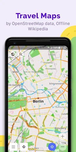
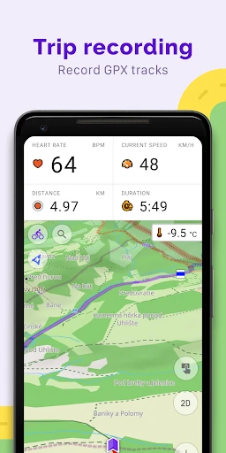
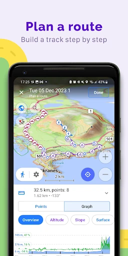
OsmAnd — Maps & GPS Offline stands as a titan in the Travel & Local category for users who demand autonomy from data connections. Unlike mainstream competitors that prioritize cloud-based simplicity, OsmAnd leverages OpenStreetMap (OSM) data to provide a robust, privacy-focused toolset. It is essentially a professional-grade Swiss Army knife for navigation, catering to specialized needs ranging from nautical exploration to off-road trekking. Its commitment to open-source principles and data privacy makes it a standout choice in an increasingly data-hungry ecosystem.
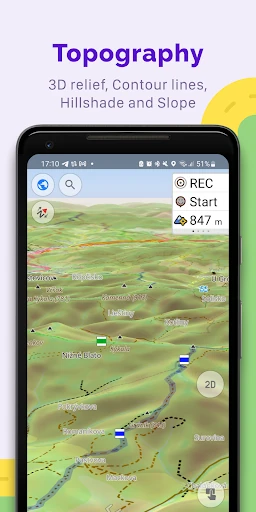
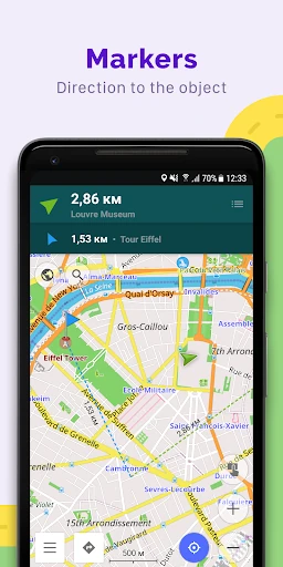
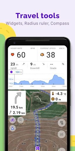
The UI of OsmAnd is built on a philosophy of utility and depth. While it adheres to modern Android design standards and includes essential features like a Night theme, the interface is notoriously dense. The sheer volume of toggles, widgets, and overlay options provides unparalleled customization but results in a steeper learning curve than the average Travel & Local app. For the power user, the ability to overlay different map sources and customize information widgets is a significant UX win, though casual users may find the initial setup process overwhelming.
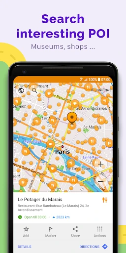
To broaden its appeal beyond the enthusiast market, OsmAnd would benefit from a "Simplified Mode" or a more intuitive onboarding flow that guides users through basic features before introducing advanced layering and GPX tools. Additionally, improving the search algorithm for local points of interest to match the "fuzzy search" capabilities of cloud-based competitors would enhance the daily usability for urban travelers.
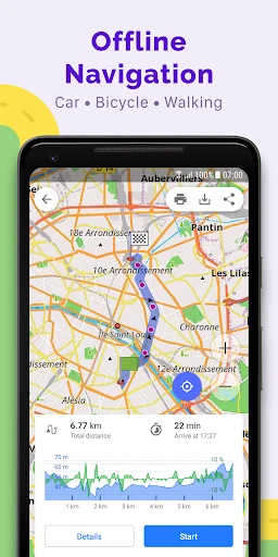
OsmAnd is the definitive choice for power users, outdoor adventurers, and privacy advocates who require reliable navigation in environments where the internet is a luxury. It is not designed for the casual commuter looking for the quickest path to a grocery store, but for hikers, cyclists, and overlanders, it is an indispensable asset. We highly recommend this app for any traveler who values data sovereignty and granular control over their mapping experience.